From orbit
to the field

Inisiatif Logikal Solution builds satellite communication for tactical vehicles, drones and robots, and the software that runs them, for places no phone network reaches.

Always one overhead

Low-orbit and geostationary satellites share the work. When one drops below the horizon, the terminal hands the link to the next without dropping the call.

One link, orbit to ground

Voice, video and sensor data travel between the operations room and every unit in the field over the same connection.

Every unit is a node

Vehicles, drones and robots pass data to each other, and the vehicle carries it up to the satellite. Lose one path and traffic takes another.

Tactical vehicles

The roof terminal keeps its dish on the satellite while the vehicle crosses rough ground, so the crew stays online on the move.

Recon drones

Live video reaches command through the satellite, far beyond the range of a ground radio.

Farm drones

Spraying and survey runs keep reporting from estates and paddy fields that no phone tower covers.

Ground robots

Robots relay through the nearest vehicle, so they keep working in tunnels, ruins and other dead zones.
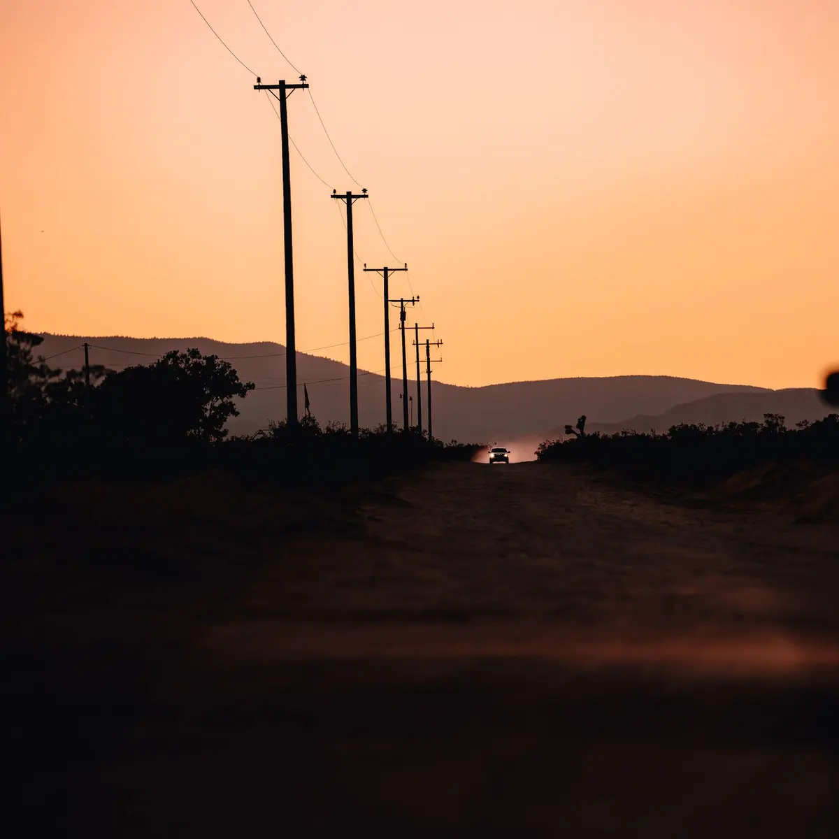
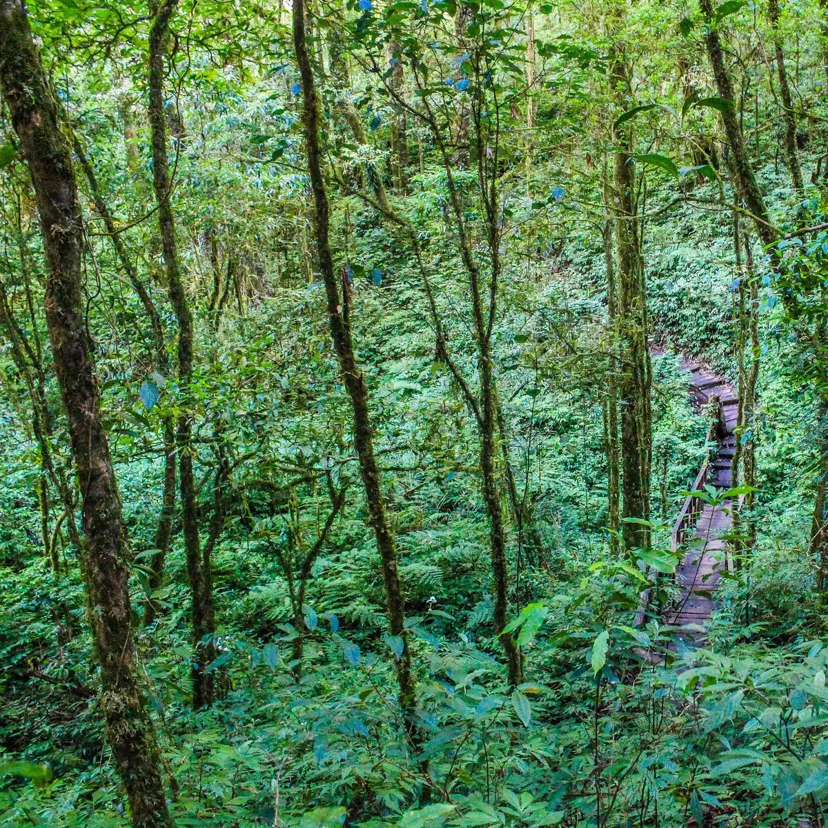
Silhouette of a car driving on a dirt road with sunset hues and distant mountains.Explore the lush greenery of a tranquil forest trail amidst tropical trees and foliage.Drone shot of expansive palm oil plantation with mountains in Johor, Malaysia.

Holds the link at speed

A low roof terminal for patrol and convoy vehicles. It keeps the satellite through turns, climbs and corrugated tracks, with no one touching it.

What we build

Every system shares one link and one map.

Satellite terminals

  • Vehicle terminal

    Tracks the satellite while moving

    On the move

  • Case terminal

    Carried and pointed by one person

    Portable

  • Site station

    Permanent link for remote sites

    Fixed

Unmanned systems

  • Recon drone

    Live video beyond radio range

    Air

  • Farm drone

    Spraying and crop survey

    Air

  • Drone link kit

    Adds satellite to drones you already fly

    Retrofit

Robotics

  • Ground robot

    Inspection and carrying in dead zones

    Ground

  • Relay node

    Carries the network into tunnels and buildings

    Ground

Software

  • Fleet map

    Every unit, its position and its link

    Web

  • Link manager

    Bandwidth, airtime costs and handovers

    Web

  • Mission replay

    Tracks and video kept for review

    Web

Built to order for your platform.
Tell us where it has to work.

Built for bad days

Each system is tested against the conditions it will meet before it ships.

  • Close-up of dust cloud forming in rocky desert landscape with mountain backdrop.

    Dust and sand

    Sealed housings keep fine dust out of the electronics.

  • Close-up of vibrant green leaves with raindrops, showcasing nature's beauty during monsoon in Meerut, India.

    Monsoon rain

    Link margin is planned for heavy tropical rain, not clear skies.

  • Dramatic desert dunes with strong sunlight creates a breathtaking arid landscape.

    Heat

    Runs in direct sun on a vehicle roof all day.

  • A breathtaking aerial view of a dense forest canopy in Chukai, Terengganu, Malaysia.

    Jungle canopy

    Finds the sky through gaps in the trees.

  • Dramatic sea view during stormy weather from a ship's deck, showcasing turbulent waters.

    Open sea

    Holds the satellite on a rolling deck.

On the ground

The roof dish tracks the satellite while the vehicle moves.

Drag the model to turn it.

Tell us the platform and the place it has to work. An engineer will reply with a plan.

contact